Welcome to Stowupland
CLICK FOR 2021 CENSUS DATAIntroduction
Stowupland is a village 1 mile (2 km) east of Stowmarket, Suffolk, England. Stowupland means "a place occupied on higher ground than Stowmarket", with the Saxons calling the village Ultuna due to the far higher presence of owls in the woods that previously stood on the site of Holy Trinity Church ('Ul' meaning owl). Stowupland High School is found in the village. Stowupland is centred on several village greens and has numerous amenities including, a petrol station, a butchers, a Chinese takeaway, a chip shop and two public houses - The Crown and The Retreat. As well as the High School there is Freeman Community Primary School, which has an attached pre-school. There are active football, cricket and bowls clubs in the village. A lottery grant funded gym and indoor sports facility is available for public use at the high school. The village implements a "Parish Plan" to help steer the development of the village. The plan was produced following the completion and analysis of a questionnaire that was sent to every dwelling and allows residents to have a degree of say in what happens in the village. One of the main aims is to try to maintain Stowupland's separation from the nearby market town of Stowmarket which has expanded considerably in recent years with just a single field now separating properties in Stowmarket from Stowupland. A monthly magazine, "The Telstar", is delivered free to every household and contains reports from parish and local council as well as various articles from residents, clubs and churches in the village. Stowupland previously hosted an event (Music on The Green) which took place in June each year. Due to lack of interest (occasional bad weather) the event was discontinued. The A1120 tourist route runs through the village and the A14 trunk road is located just to its south.
Parish Information
Parish statistics
Area |
994 hectares |
|---|---|
Population |
2,118 (2021) |
Density |
213 people/km2 |
Mean age |
46.3 |
Ward |
Haughley, Stowupland & Wetherden |
District |
Mid Suffolk |
Postcodes |
IP14 |
ONS ID |
E04009256 |
Council
Contact details for Stowupland Parish Council, including current councillors, precept data and election results.
Education
View educational establishments in Stowupland Parish. Data includes OFSTED rating and current appointed governors.
Business
Business directory listing local businesses operating within Stowupland Parish.
Planning
View recent planning applications submitted for Stowupland Parish.
Property
Price paid data for all property sold in Stowupland Parish since 2018. Includes average prices for each property type.
Heritage
Local heritage sites, historic churches, heritage pubs plus local heritage initiatives for Stowupland Parish.
Local News

Hosted and licensed by East Anglian Daily Times
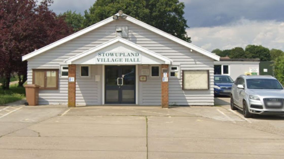
Stowupland Village Hall to be extended in approved plans
Published: 31st Oct 2023

Hosted and licensed by Stowmarket Mercury
Drivers face 35-mile diversion for Stowupland road closure
Published: 1st Mar 2024

Hosted and licensed by East Anglian Daily Times
18 homes off Church Road Stowupland to go before planners
Published: 15th Jun 2023